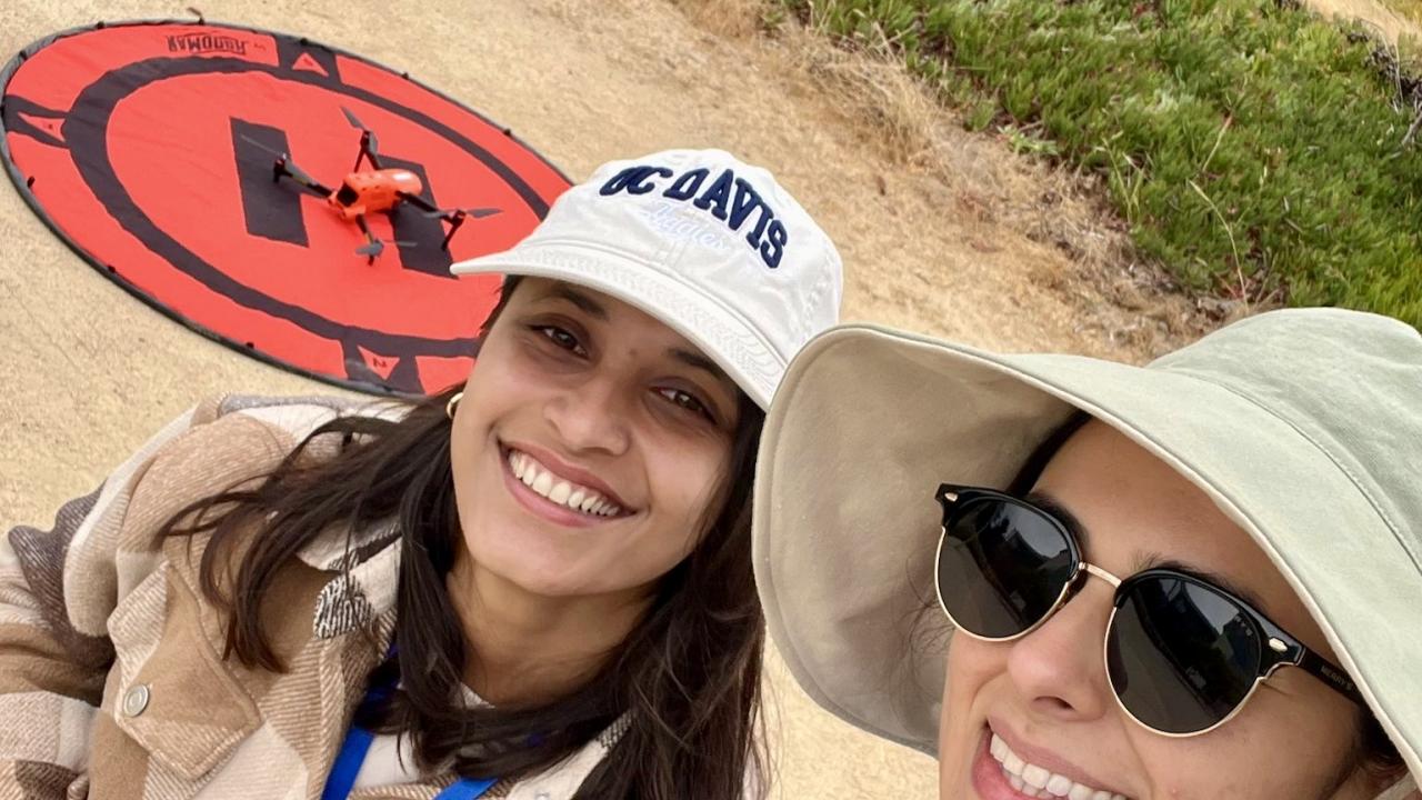
Mashalle Olomi and Dipti Baral attend DroneCamp 2025 at CSU Monterey Bay
This summer, we attended DroneCamp 2025, a weeklong program designed to introduce participants to drone flying, drone regulations, and data analysis. The program was held at CSU Monterey Bay. As students of International Agricultural Development, we both share an interest in remote sensing applications in agriculture and we understand how powerful drones can be as research tools. DroneCamp 2025 was an excellent introduction for us to explore that route especially in beautiful, seaside Monterey, California!
Why Drones?
For Dipti, she has always been fascinated by how satellite imagery can transform agricultural research, especially in remote areas where traditional fieldwork is difficult. Currently, in her master’s research project, she is studying the impact of temperature stresses on rice yield in California using satellite images. Learning precision agriculture during the spring quarter got her curious about drones, and she was able to find out more about them this summer at Drone Camp 2025. She is excited about the possibility of using drone imagery for agricultural research in the future.
Mashalle, on the other hand, became interested in drones when she took her first remote sensing class in Fall 2025 - ESM 185: Aerial Photo Interpretation & Remote Sensing with Professor Yufang Jin. One of the course’s labs covered planning drone missions and analyzing data gathered from a flight. TAs in her class took the lead in controlling the drone, but the students learned how to place ground control points (GCPs) out into the field and they watched as the drone made its way through the field in a lawnmover fashion, ensuring to get every detail. Afterwards, they went back into the computer lab and learned the process of orthorectification using the ground control points to correct geometric distortions in the drone imagery. This process falls under the umbrella of photogrammetry. She learned about DroneCamp through this class and really wanted to learn how to fly drones because of its use in agricultural research.
Our First Impressions
We were impressed with the Drone Camp from day one. The class was so diverse, including students, researchers, professors, government employees, and entrepreneurs, and each person had a unique perspective. The camp itself was well-organized for both in-person and virtual attendees, with sessions for all experience levels. The program was essentially a crash course on everything we needed to know about drone data collection and data analysis. The flight practice time of the program was short, but it set us up to be able to apply for our pilot license!
Our First Flights
We flew a total of 6 different drones which covered a range of sizes and models. It was great to get a sense of how each drone flies differently and how they differ in how they react to the natural elements including WIND! It was also interesting to learn that raptors, especially hawks tend to attack drones so that is a safety concern to be well aware of! A hawk actually approached the field where we were learning to fly and we had to immediately land our drones so we wouldn’t be attacked.
Sessions that Stood Out
Drone Camp was not just about flying drones. We learned it all, from rules and regulations about flying drones to mission setup to flight techniques to image analysis and interpretation. Most of the course was on data analysis, overviews of different open source and closed source commercial software including DroneDeploy, OpenDroneMap, Pix4D, ArcGIS, and QGIS. It was great to get a review of the data processing and analysis especially since there are minor differences that are specific to drone imagery.
One of the highlights of DroneCamp was the lunch drone exhibition - we saw many types of drones and learned about their specialties which was pure joy. We liked how everybody bonded with their drones. It was as if every drone had a personality.
Why it matters
Drones and remote sensing tools are helpful tools to make agriculture more precise and more sustainable. Unfortunately the technical skills needed for this make it inaccessible for farmers and growers who lack the experience but that is why we are interested in this. Being able to provide detailed insight into a field or orchard for farmers has the potential to detect issues before they destroy a crop or indicate where in the field needs extra attention with water or nutrients and in the case of my project, remote sensing can allow growers to know if certain practices are allowing their crops to grow better or worse without having to resort to techniques that would be destructive such as tree excavations for carbon content measurement.
Drone Camp was an excellent introduction to the ways drones can aid agricultural research, and we departed with excitement and enthusiasm to learn more and explore.