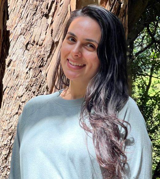
Position Title
Topics of Interest: geospatial technology, agroecology, restoration, climate change
Mashalle graduated from the University of California, Berkeley where she studied Middle Eastern Studies, specializing in Arabic language, and Ethnic Studies. She interned on the “California Tribal Fish-Use Project,” a collaboration between the CA State Water Resources Control Board, Environmental Protection Agency, and UC Davis which investigated current and traditional use of fish by Native communities across the state in an effort to inform water regulations. This opportunity allowed her to travel to remote areas in California, her home state, and experience its lush forests, endless stars, rushing rivers, and the majesty of Mt. Shasta for the first time, as well as interview indigenous communities who’ve stewarded these lands for thousands of years. This ultimately changed her course from the humanities to the sciences.
Her interest in geospatial technology was sparked soon after while working with a California Native tribe who was in the midst of planning a restoration effort of winter-run Chinook salmon to McCloud River. This experience was inspiring and made it clear to her that the use of geospatial technology could be powerful and extremely impactful in ecological and humanitarian efforts.
After completing a farmer training program with the Multinational Exchange for Sustainable Agriculture (MESA), she worked at Bluma Farm, an urban organic flower farm situated on a 23,000 square foot rooftop farming system in Berkeley, CA.
Mashalle is interested in how geospatial technology can empower vulnerable communities in establishing food security, efficient resource management, improved crop production, and resilience in the face of climate change.
In her free time, Mashalle likes to swim, hike, garden, listen to music, and explore different cuisines. She’s also been working on a seed saving project and a saffron business which directly supports female farmers in Afghanistan.